 vesseltracker.com
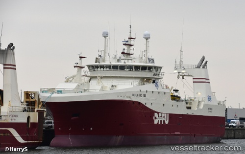
Vessel KAPITAN BULATOV IMO: 9782780, MMSI: 273293480 Fishing Vessel
UTC, 68.95833, 33.03167, course: -1, speed: 0
UTC, 68.95833, 33.03167, course: -1, speed: 0
2026-03-02 19:20:01 UTC, 68.95833, 33.03167, course: -1, speed: 0
Live AIS position:
UTC. Near Murmansk),
updated 2026-03-02 19:20:01 UTC.
Find the position of the vessel KAPITAN BULATOV on the map. The latter are known coordinates and path.
marine traffic ship tracker show on live map
The current position of vessel KAPITAN BULATOV is 68.95833 lat / 33.03167 lng. Updated: 2026-03-02 19:20:01 UTCCurrently sailing under the flag of Russia
KAPITAN BULATOV built in 2017 year
Deadweight:
1500 tDetails:
Last coordinates of the vessel:
UTC, 68.95833, 33.03167, course: -1, speed: 0UTC, 68.95833, 33.03167, course: -1, speed: 0
UTC, 68.95833, 33.03167, course: -1, speed: 0
2026-03-02 19:20:01 UTC, 68.95833, 33.03167, course: -1, speed: 0